前言
利用GeoServer和Openlayer地图显示区域掩模
利用GeoServer进行图层发布
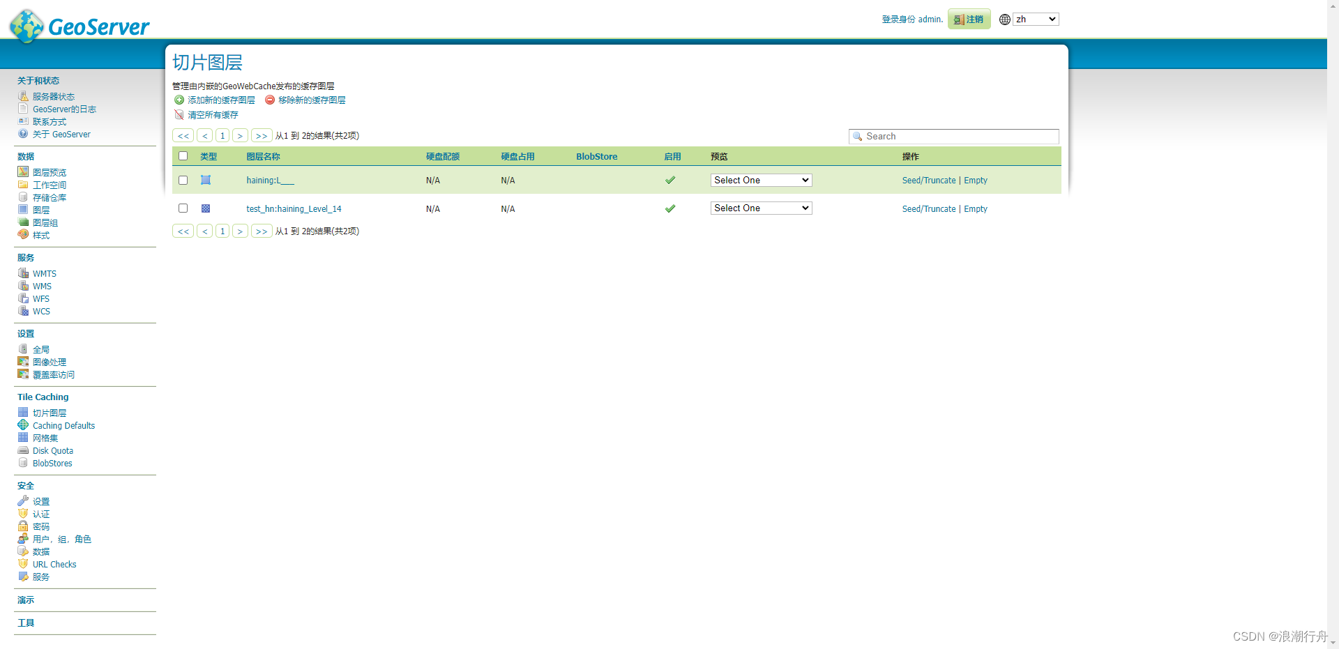
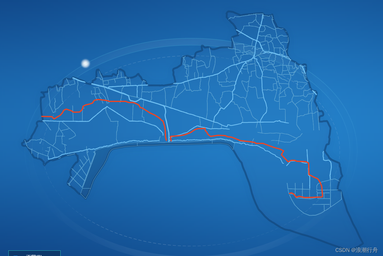
Openlayer地图显示区域掩模
对界面地图进行切换,卫星图利用GeoServer,水系等根据geojson文件生成图层,效果如下
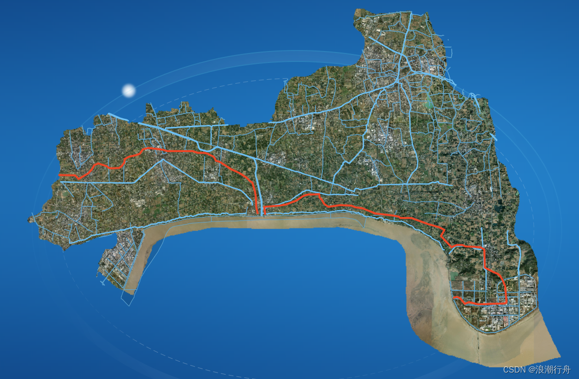
卫星图部分代码如下:
// 创建卫星图图层
        _that.satelliteLayer = new TileLayer({
          name: '海宁卫星区域',
          source: new TileWMS({
            url: 'http://gis.1.com/geoserver/test_hn/wms',
            params: {
              LAYERS: 'test_hn:haining_Level_14',
              TILED: true
            },
            serverType: 'geoserver'
          }),
          style: new Style({
            stroke: new Stroke({
              color: 'rgba(16, 66, 118, 0.6)', //'#1E71B8',
              width: 4
            }),
            fill: new Fill({
              color: 'rgba(255, 255, 255, 0.2)' // 'rgba(50, 103, 174, 0.1)' //'rgba(15, 62, 115, 0.1)'
            })
          })
        })
//地图加载图层
window.map = new Map({
target: 'map',
layers: [
_that.satelliteLayer,
_that.waterLayer,
_that.riverLayer,
_that.riverBoundaryLayer
],
view: view,
controls: defaultControls({
//加载控件到地图容器中
zoom: false,
rotate: false,
attribution: false
})
})欢迎交流,知识星球、微信公众号与账号"浪潮行舟"同号
