使用echarts配置中国地图
-
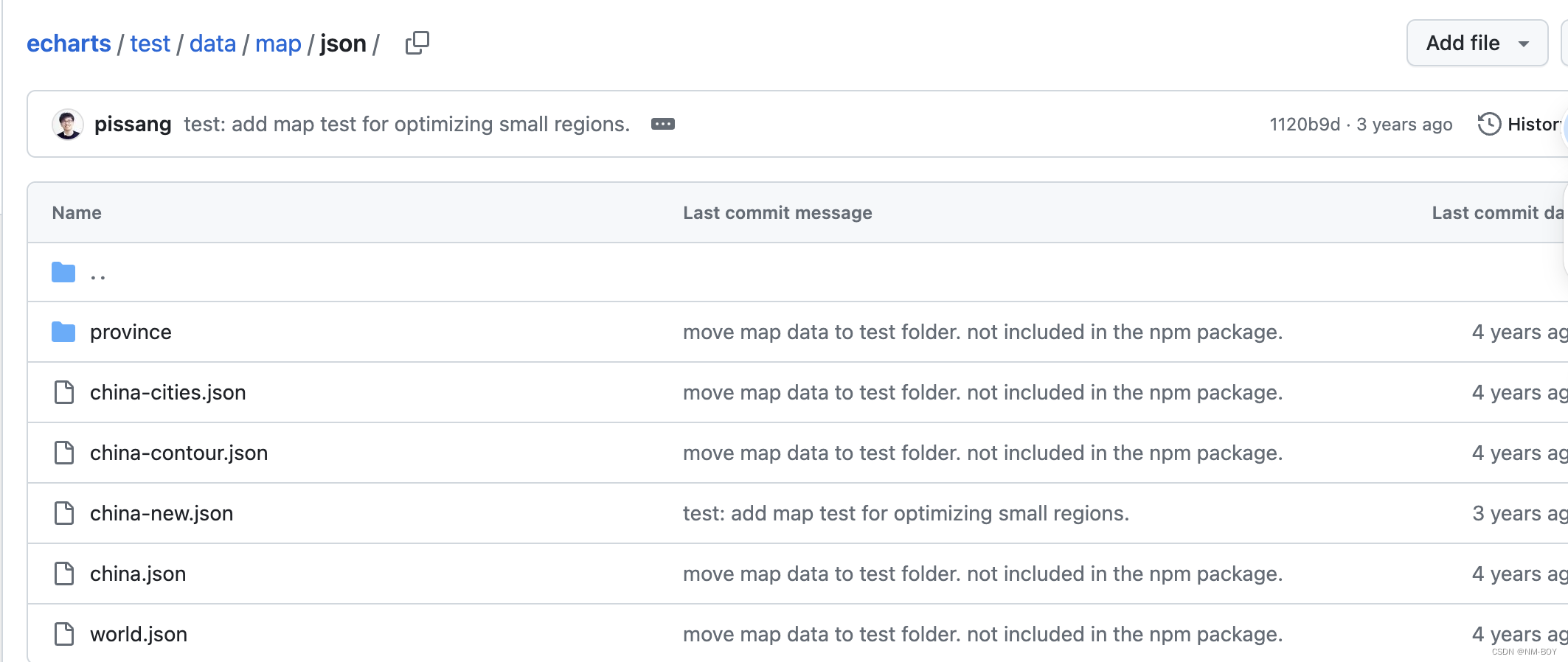
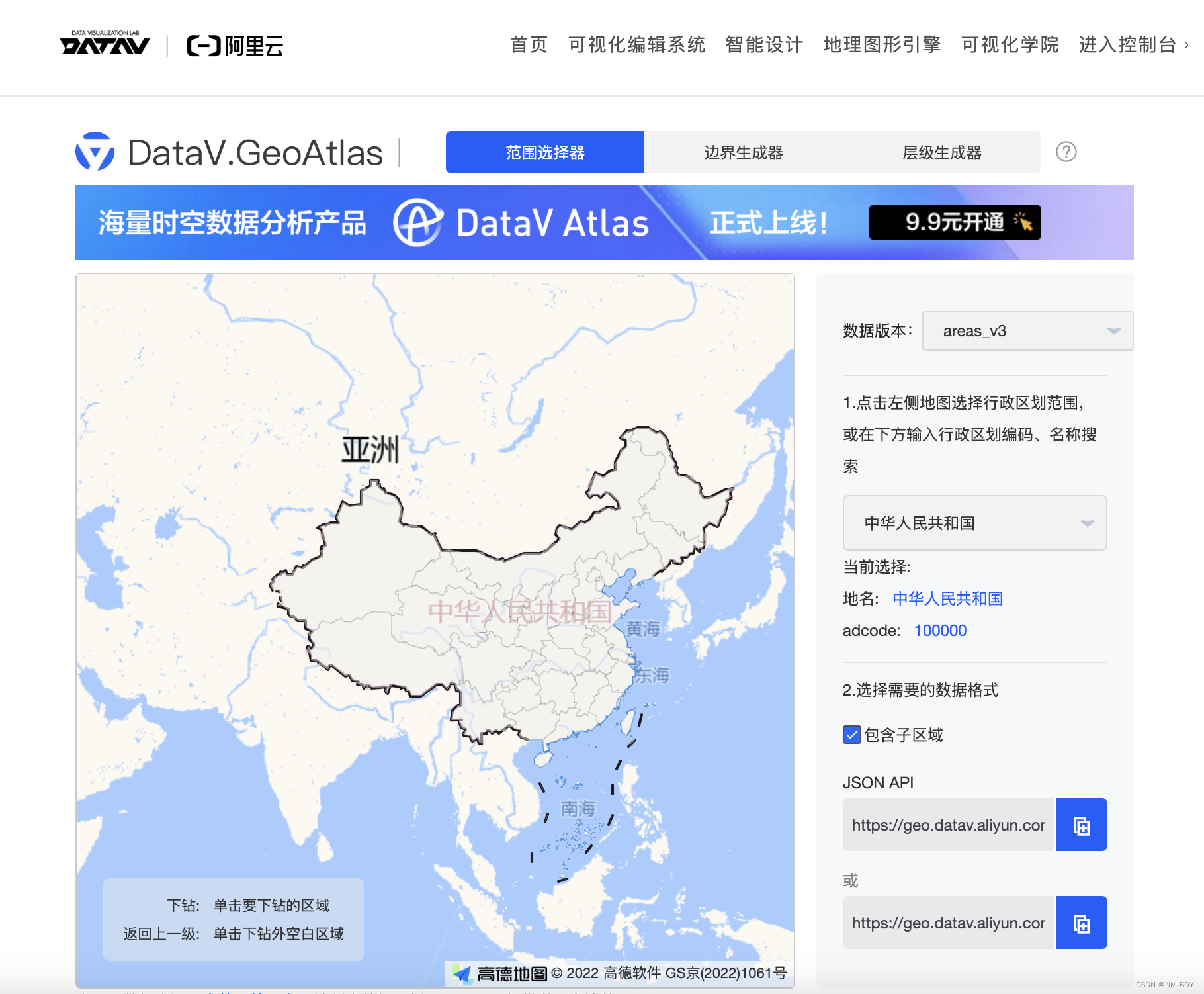
首先要下载地图的geoJSON数据,有两个方式下载,一种是去echarts的github资源文件里面,一种是去阿里云的datav网站。
1.1 echarts文档下载中国地图json数据
1.2 阿里云datav
-
新建项目,新建index.html,下载echarts依赖。
touch index.html;
npm init -y;
npm i echarts;
<!DOCTYPE html>
<html lang="en">

<head>
    <meta charset="UTF-8">
    <meta name="viewport" content="width=device-width, initial-scale=1.0">
    <title>Document</title>
    <script src="../node_modules/echarts//dist/echarts.js"></script>
    <style>
        #root {
            --a: 500px;
            width: var(--a);
            height: var(--a);
            border: 1px solid red;
        }
    </style>
</head>

<body>
    <div id="root"></div>
</body>
<script type="module">
    let echarts = window.echarts;
    console.log(echarts);
</script>

</html>
这里可以打印出echarts对象了
3. 使用echarts.init()初始化DOM对象。
4. 导入china-new.json文件
5. 使用echarts.registerMap()注册中国地图
6. 配置option对象
<!DOCTYPE html>
<html lang="en">

<head>
    <meta charset="UTF-8">
    <meta name="viewport" content="width=device-width, initial-scale=1.0">
    <title>Document</title>
    <script src="../node_modules/echarts//dist/echarts.js"></script>
    <style>
        #root {
            --a: 500px;
            width: var(--a);
            height: var(--a);
            border: 1px solid red;
        }
    </style>
</head>

<body>
    <div id="root"></div>
</body>
<script type="module">
    let echarts = window.echarts;
    (async () => {
        let instance = echarts.init(document.getElementById('root'))
        const data = await fetch('./china-new.json').then(res => res.json())
        console.log(data);
        echarts.registerMap('china', data )
        instance.setOption({
            series: [{
                name: '中国地图',
                type: 'map',
                map: 'china',
                roam: true,
                data: [
                    { name: '北京', value: 1000 },
                    { name: '上海', value: 2000 },
                    { name: '安徽', value: 8000 },
                ],
                label: {
                    show: true,
                    fontSize: 8,
                    color: "#999"
                }
            }],
            tooltip: {
                show: true,
            },
            visualMap: {
                show: true,
                min: 1,
                max: 10000,
                inRange: {
                    color: [
                        '#313695',
                        '#4575b4',
                        '#74add1',
                        '#abd9e9',
                        '#e0f3f8',
                        '#ffffbf',
                        '#fee090',
                        '#fdae61',
                        '#f46d43',
                        '#d73027',
                        '#a50026'
                    ]
                },
                calculable: true
            },
            toolbox: {
                show: true,
                orient: 'horizontal',
                left: 'right',
                feature: {
                    dataView: { readOnly: false },
                    restore: {},
                    saveAsImage: {}
                }
            }
        })
    })()

</script>

</html>

